

/content/aerobt/us/en/search.html
PLEASE READ: When testing from the STAGE site, always verify the URL after navigating to another page to ensure the domain remains ‘Stage,’ or ‘QA,’ or another non-production environment. Some links currently point to production.

Your browser is not supported.

For the best experience, please access this site using the latest version of the following browsers:

Close This Window

By closing this window you acknowledge that your experience on this website may be degraded.

HGuide n380 Inertial Navigation System
Overview
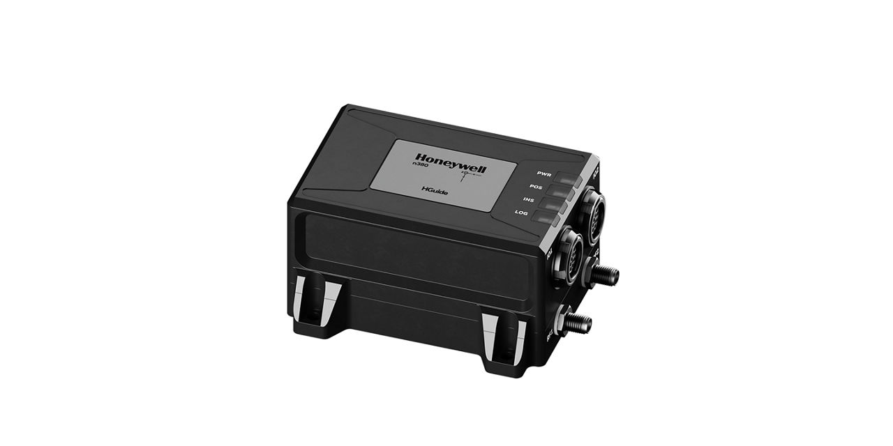
The HGuide n380 is an incredibly small, light-weight, self-contained, all-attitude Inertial Navigation System designed for applications where robust, continuous position and attitude navigation data is required. HGuide n380 contains Honeywell’s leading edge i300 inertial measurement unit (IMU) and provides a powerful dual-antenna, multi-frequency, multi-constellation RTK capability.

Honeywell’s integration expertise blends the IMU and GNSS data to provide an accurate, robust navigation service to your application with all the functionalities that you need.

The HGuide n380 output data includes time stamped position, velocity, angular rate, linear acceleration, roll, pitch and heading information. In dual-antenna mode, the device supports GNSS-based heading measurements and initialization.

Key Honeywell Advantages:
  • Honeywell proven navigation algorithms for air, land and sea.
  • World-class inertial sensor development, calibration, and compensation.
  • Proven reliability, dependability, and ruggedness.
  • Accepts RTCM3 GNSS corrections.
  • Highest performing Inertial Navigation System of its size, weight and price.
  • Configuration flexibility. Only purchase the features you need.
  • Multiple configurable communication ports.
  • The HGuide n380 is not ITAR controlled. Its Export Control Classification Number (ECCN) is 7A994.

Specifications

  • Weight

    • 320 g
  • Heading (Dynamic)

    • <0.08°, 1σ
  • Dimensions

    • 90mm x 76mm x 48mm
  • Accelerometer Sensor Technology

    • MEMS
  • Gyro sensor technology

    • MEMS
  • Roll/Pitch Accuracy

    • 0.03
  • Position (inertial)

    • <0.01m (RTK)
    • <0.6m (SBAS)
  • GNSS Capability

    • SBAS, RTK in Single or Dual Antenna mode PPP Optional
  • Key Benefits

    • Compatible with most commercial LiDAR sensors
    • Direct input of quadrature pulses from Distance Measurement Instrument (DMI)
    • Honeywell Aerospace advanced navigation algorithms for air, land and sea tailored to industrial applications
    • Its Export Control Classification Number (ECCN) is 7A994 and is generally available free of an export license
    • Log IMU and GNSS data suitable for Post Processing
    • Multiple, configurable communication ports including UART, Ethernet and CAN
    • Onboard Data Logging (16GB, ~1 week of data) of IMU and GNSS data suitable for Post Processing
    • Onboard NTRIP client and accepts RTCM3 corrections
    • Proven reliability, dependability, and ruggedness. MTBF >50,000 hrs
  • Environmental Conditions

    • IP68 per IEC 60529
  • Operating Temperature

    • -40 °C to +71 °C
  • Internal Data Storage

    • 16GB
  • GNSS Constellations

    • BeiDou B1, B2
    • GLONASS L1, L2, L3
    • GPS L1, L2, L5
    • Galileo E1, AltBOC, E5a, E5b
    • NavlC (IRNSS) L5
  • Communication Ports

    • RS-422 (2x), 5V CMOS, RS-232, USB, Ethernet (10/100)
  • Data Rate

    • 100Hz
  • Time to First Fix

    • Cold Start, < 45 Sec: Hot Start, < 20 Sec
  • Power Consumption

    • 3.5 W Watt
  • Supply Voltage

    • +9VDC to +36VDC
  • Weight

    • 320 g
  • Heading (Dynamic)

    • <0.08°, 1σ
  • Dimensions

    • 90mm x 76mm x 48mm
  • Accelerometer Sensor Technology

    • MEMS
  • Gyro sensor technology

    • MEMS
  • Roll/Pitch Accuracy

    • 0.03
  • Position (inertial)

    • <0.01m (RTK)
    • <0.6m (SBAS)
  • GNSS Capability

    • SBAS, RTK in Single or Dual Antenna mode PPP Optional
  • Key Benefits

    • Compatible with most commercial LiDAR sensors
    • Direct input of quadrature pulses from Distance Measurement Instrument (DMI)
    • Honeywell Aerospace advanced navigation algorithms for air, land and sea tailored to industrial applications
    • Its Export Control Classification Number (ECCN) is 7A994 and is generally available free of an export license
    • Log IMU and GNSS data suitable for Post Processing
    • Multiple, configurable communication ports including UART, Ethernet and CAN
    • Onboard Data Logging (16GB, ~1 week of data) of IMU and GNSS data suitable for Post Processing
    • Onboard NTRIP client and accepts RTCM3 corrections
    • Proven reliability, dependability, and ruggedness. MTBF >50,000 hrs
  • Environmental Conditions

    • IP68 per IEC 60529
  • Operating Temperature

    • -40 °C to +71 °C
  • Internal Data Storage

    • 16GB
  • GNSS Constellations

    • BeiDou B1, B2
    • GLONASS L1, L2, L3
    • GPS L1, L2, L5
    • Galileo E1, AltBOC, E5a, E5b
    • NavlC (IRNSS) L5
  • Communication Ports

    • RS-422 (2x), 5V CMOS, RS-232, USB, Ethernet (10/100)
  • Data Rate

    • 100Hz
  • Time to First Fix

    • Cold Start, < 45 Sec: Hot Start, < 20 Sec
  • Power Consumption

    • 3.5 W Watt
  • Supply Voltage

    • +9VDC to +36VDC

Resources

Sort
Brochure
Title
Category
Date Added
Size
Type
Brochure
17 Oct 2025
2.02 MB
Multimedia_Resources
Title
Category
Date Added
Size
Type
Brochure
17 Oct 2025
2.02 MB
Multimedia_Resources

Parts

Filters

Related Products

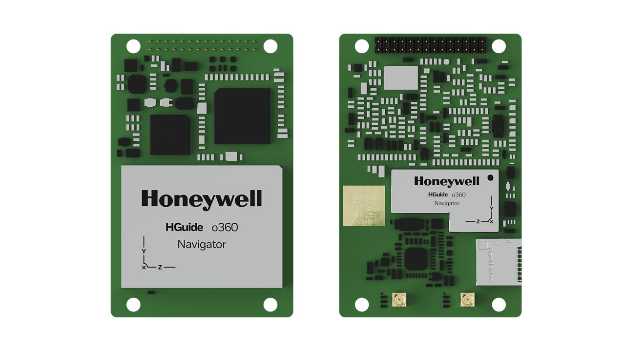
Image of the front and back side of HGuide o360 Inertial/GNSS Navigator

HGuide o360 Inertial/GNSS Navigator

Meet Honeywell’s HGuide o360 – a single-card, all attitude Inertial/GNSS navigator for platforms needing high-performance navigation in ultra-low SWAP packages.
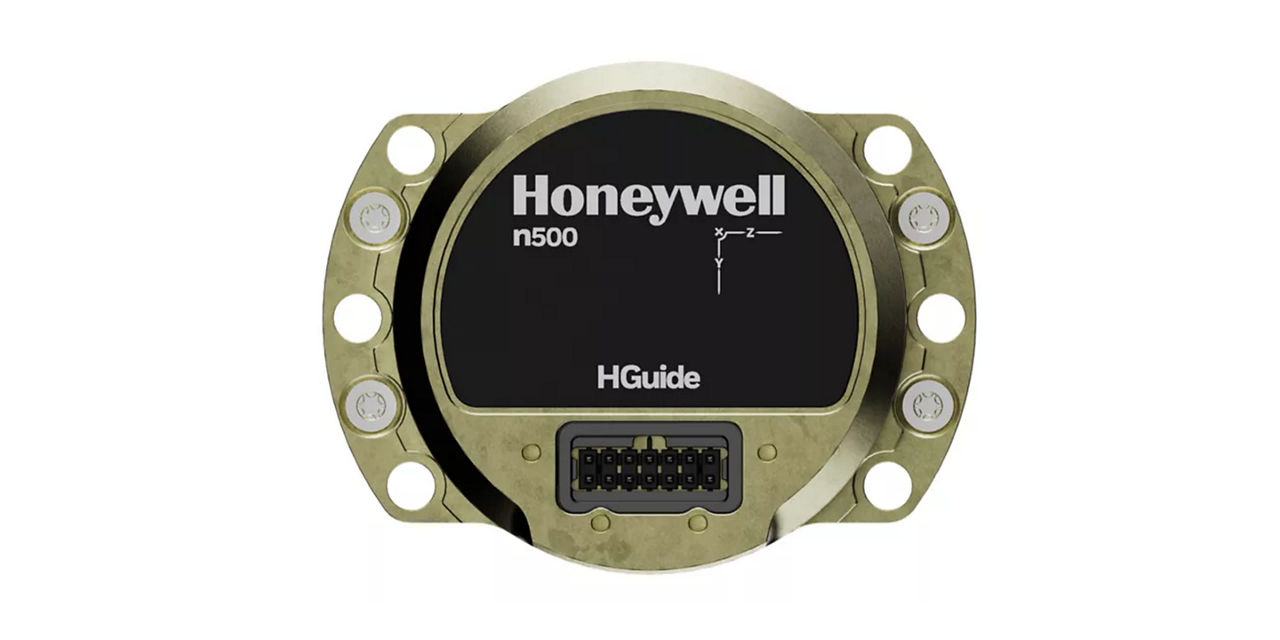
Front view of HGuide n500 Inertial Navigator

HGuide n500 Inertial Navigator

Meet Honeywell’s HGuide n500 – world’s first Navgrade BYOG (Bring Your Own GNSS) all-attitude navigator enabling continuous position and attitude navigation.
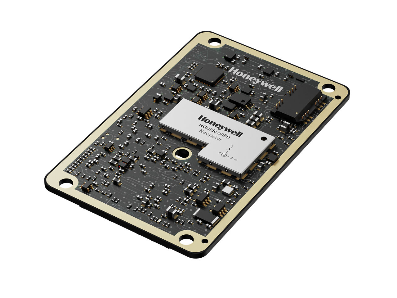
HGuide o480 Inertial/GNSS Navigator

HGuide o480 Inertial/GNSS Navigator

INS/GNSS Navigator that delivers resilient navigation for autonomous, low-cost platforms like UAVs, loitering munitions, and unmanned ground or marine vehicles.
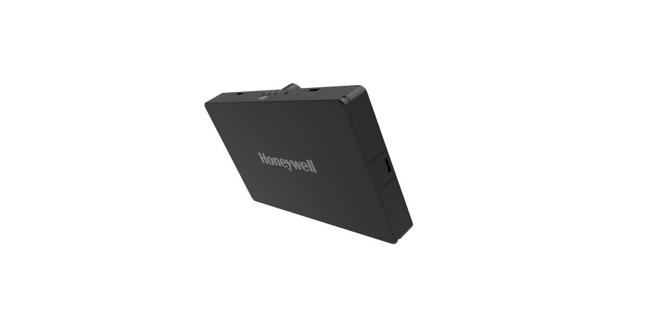
The Honeywell radar velocity system (HRVS) is a small, lightweight, low-power and low-cost radar-based navigation-aiding system.

Honeywell Radar Velocity System

Honeywell HRVS provides accurate UAV velocity data in all weather conditions, enabling resilient navigation without maps or terrain knowledge—ideal for GPS-denied environments and seamless integration with Honeywell’s UAV navigation suite.
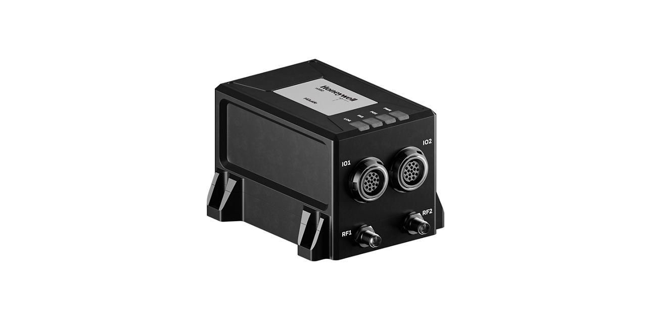
Upper front view of HGuide n580 Inertial Navigation System

HGuide n580 Inertial Navigation System

Navigate with confidence using the high-precision HGuide n580 Inertial Navigation System.
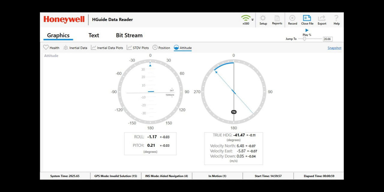
Visualize, record and playback your navigation data with Honeywell's HGuide Data Reader software. Available to all HGuide customers, our free desktop software is simple to install, easy to use and conveniently hosts all of your data in one place.

HGuide Data Reader Software

HGuide Data Reader Software