


HGuide n580 Inertial Navigation System
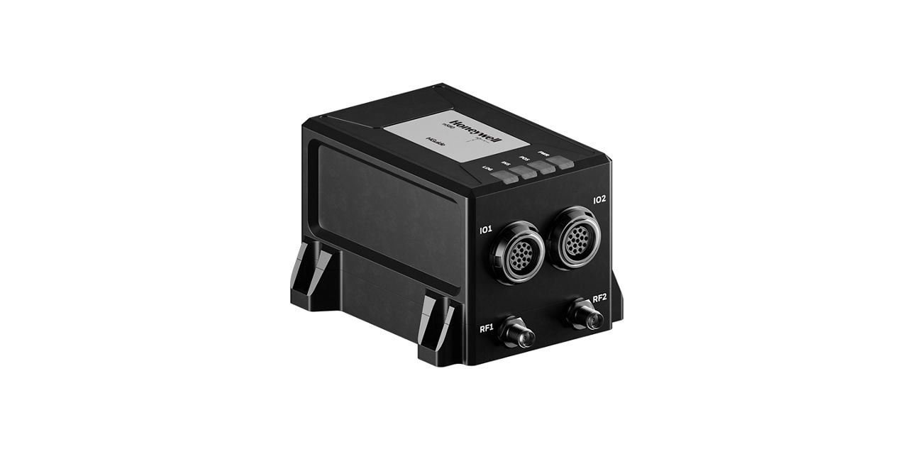
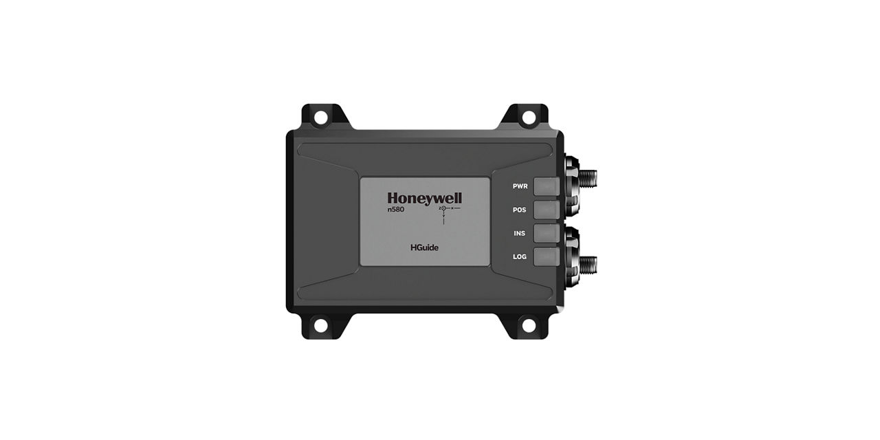
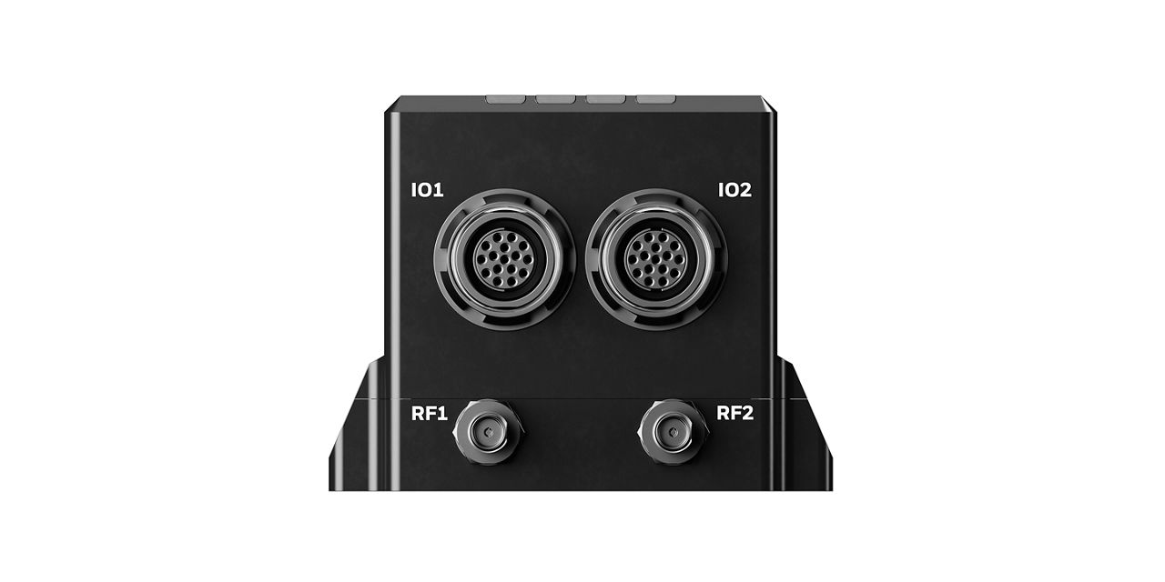
The n580 contains a Honeywell HGuide HG4930 IMU and a survey grade dual-antenna, multi-frequency, multi-GNSS receiver. Honeywell Aerospace's integration expertise blends the IMU and GNSS data to provide an accurate, robust navigation service with all the functionality you need for your application. It is also natively compatible with with various navigation aiding systems, including Honeywell AltNav technology such as our HRVS or Vision Navigation solutions, providing accurate PNT data, even in extended GNSS-denied environments.With proven vehicle specific algorithms and advanced sensor fusion software to enhance navigation on Land, at Sea or in the Air,the n580 is the ideal choice for navigation in GNSS denied environments.
The HGuide n580 is designed and built at a Honeywell facility in the USA. It has an ECCN of 7A994 and is generally available without an export license.
Specifications
Models
- P/N 68910580-B258 = HGuide n580 with Hemisphere Vega 60 GNSS Rx
- P/N 68910580-C258 = HGuide n580 with Septentrio m3 Pro+ GNSS Rx
Accelerometer Sensor Technology
- MEMS
Gyro sensor technology
- MEMS
Roll/Pitch Accuracy
- <0.015°, 1σ
GNSS Capability
- PPP Optional
- SBAS, RTK and Dual Antenna
Position
- <0.01m (RTK)
- <0.4m (SBAS)
Environmental Conditions
- IP68 per IEC 60529
Operating Temperature
- -40°C to +71°C
Internal Data Storage
- 16GB
GNSS Constellations
- BeiDou Phase 2&3 B1/B2/B3
- GLONASS G1/G2/G3/P1/P2
- GPS L1/L2/L5
- Galileo E1/E5a/E5b/E6
- NavIC (IRNSS) L5; QZSS L1/L2/L5
Communication Ports
- 5V CMOS
- CAN ISO 11898-2
- Ethernet
- NTRIP Client
- RS-232
- RS-422 (2x)
Data Rate
- 100Hz
Time to First Fix
- Cold Start = 60 Sec, Warm Start = 30 Sec, Hot Start with Heading Fix = 10 Sec
Power Consumption
- 7.5 Watt
Supply Voltage
- +9VDC to +36VDC
Heading (Dynamic)
- <0.03°, 1σ
Dimensions
- 90mm x 76mm x 60mm
Weight
- <500 grams
Resources
SortBrochure
Infographic
Parts
Filters
Related Products
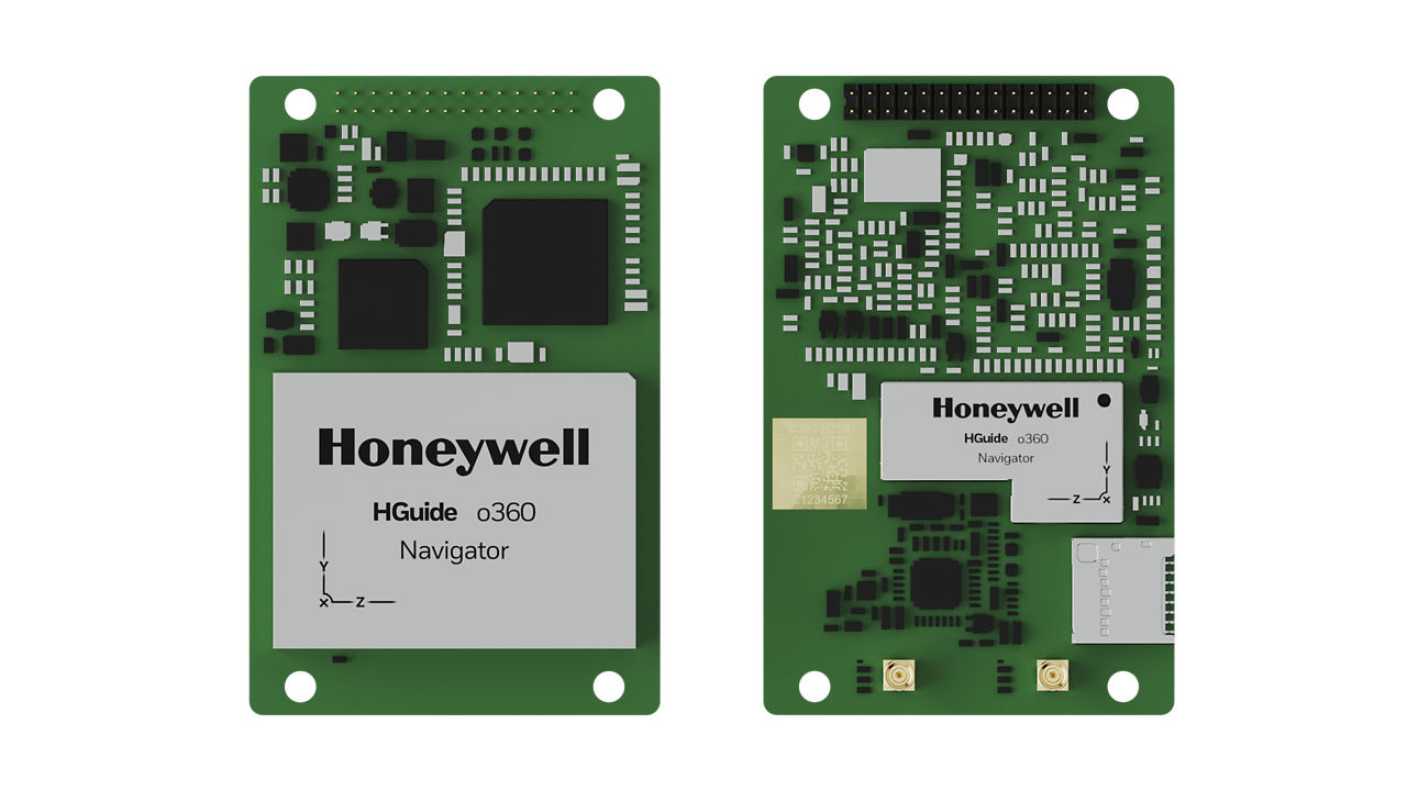
HGuide o360 Inertial/GNSS Navigator
Meet Honeywell’s HGuide o360 – a single-card, all attitude Inertial/GNSS navigator for platforms needing high-performance navigation in ultra-low SWAP packages.
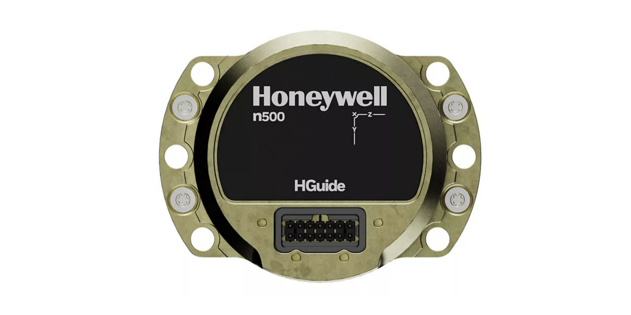
HGuide n500 Inertial Navigator
Meet Honeywell’s HGuide n500 – world’s first Navgrade BYOG (Bring Your Own GNSS) all-attitude navigator enabling continuous position and attitude navigation.
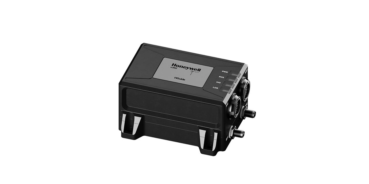
HGuide n380 Inertial Navigation System
The HGuide n380 is an incredibly small, light-weight, self-contained, all-attitude Inertial Navigation System designed for applications where robust, continuous position and attitude navigation data is required.
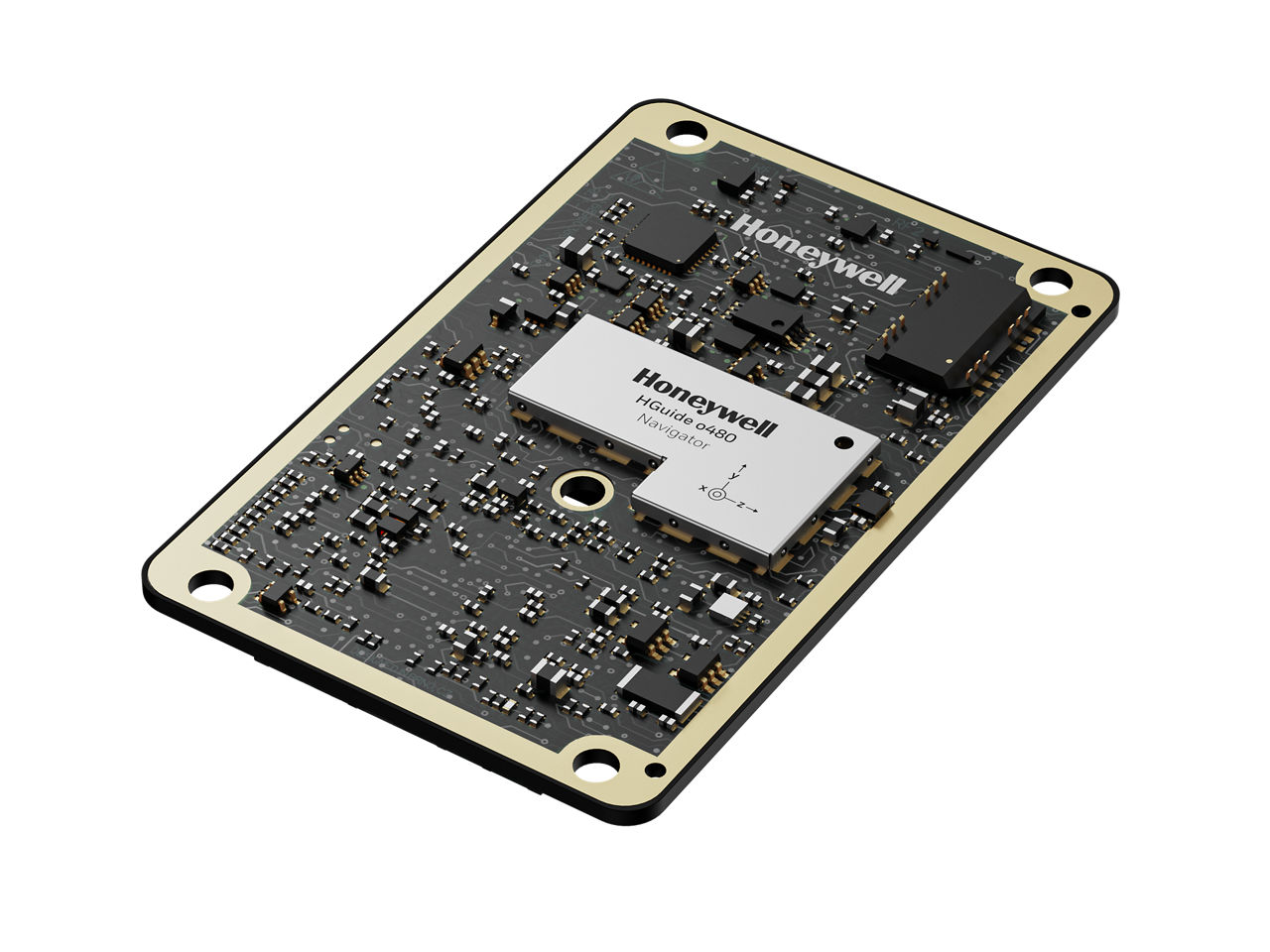
HGuide o480 Inertial/GNSS Navigator
INS/GNSS Navigator that delivers resilient navigation for autonomous, low-cost platforms like UAVs, loitering munitions, and unmanned ground or marine vehicles.
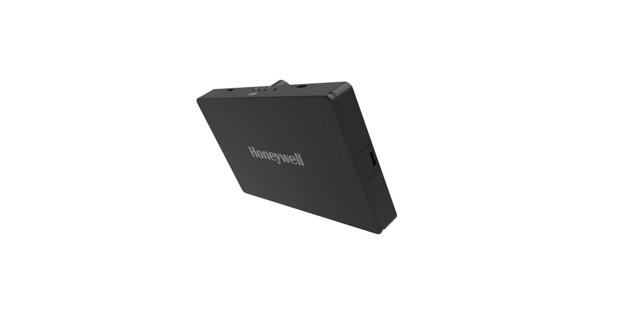
Honeywell Radar Velocity System
Honeywell HRVS provides accurate UAV velocity data in all weather conditions, enabling resilient navigation without maps or terrain knowledge—ideal for GPS-denied environments and seamless integration with Honeywell’s UAV navigation suite.
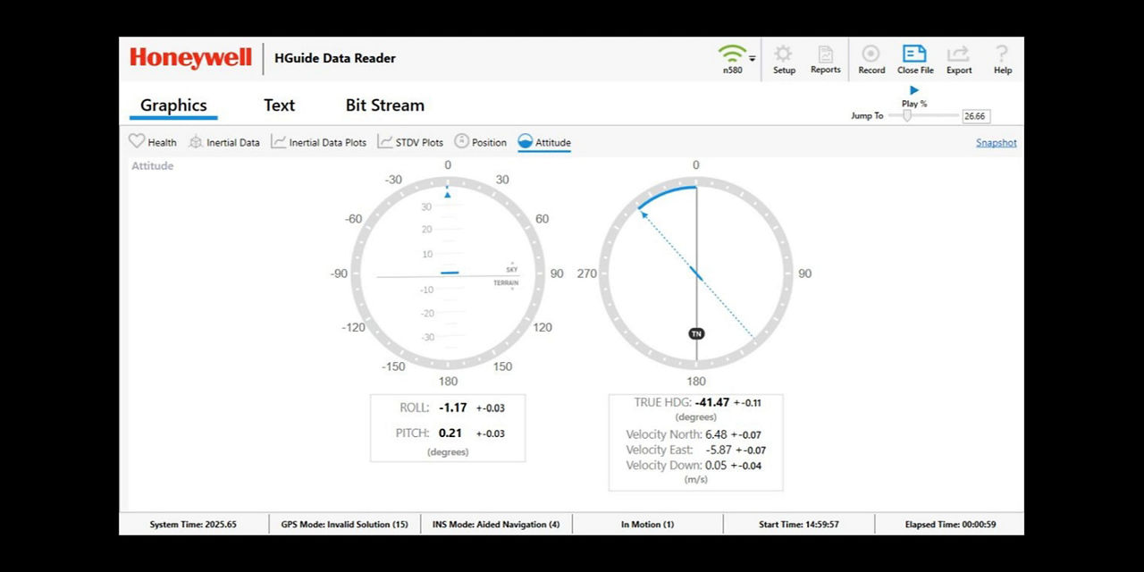
HGuide Data Reader Software
HGuide Data Reader Software